
~Pendle Hill~
31st July 2010
Saturday is my usual walking day and the North-Western skies were forecast to be full of grey stuff - again. So, there was no chance of me driving to the Lakes and instead I decided to walk from home in the direction of Pendle Hill. It's unusual for me to climb Pendle Hill on a Saturday, or under heavy skies and certainly from home..
|
from 21st June 2010 |
Reservoir Review - to follow
Scroll down for photos and a description of the walk
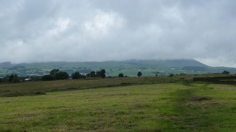
The Fields
Just behind our house are these fields and they always offer a view towards Pendle Hill, weather permitting. I'm heading for the summit and I hope the clouds will have lifted by the time I get there. Estimated time from here to the top: 3hrs using the most direct possible route.
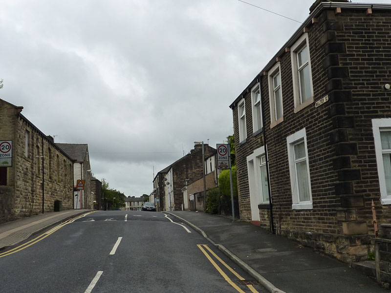
Walter Street, Brierfield
It is a dull day, so I'm looking around for points of interest. My first house after leaving the family home was on Walter Street, albeit not in the photograph.
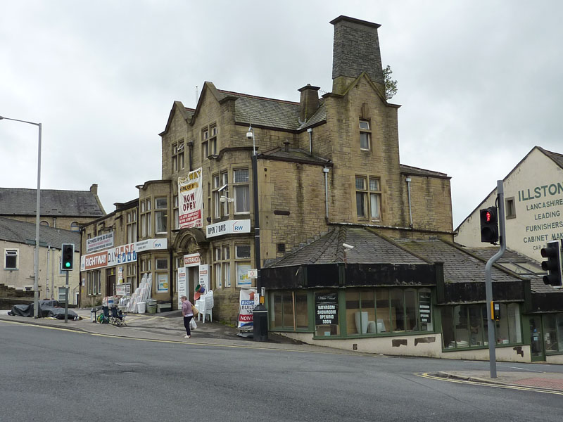
Greyhound Pub, Brierfield
One of the many pubs in Brierfield that is now not a pub. I reckon there is now one open, down from a dozen, twenty years ago.
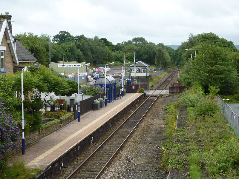
Brierfield Railway Station
Used to be two lines and many sidings. Thinking about it, Brierfield is full of what used to be.
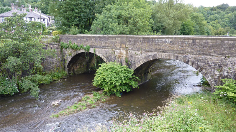
Quaker Bridge, Brierfield
My route has seen me descend by 400ft from home to the river, I crossed the river and followed the path on the other side. With all the ups and downs anticipated, there could be quite a high cumulative ascent tally.
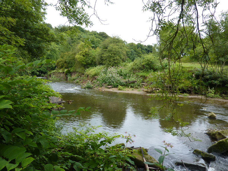
The Weir
or rather where the weir used to be. I know nothing about its disappearance, but it was here last time I took a look.
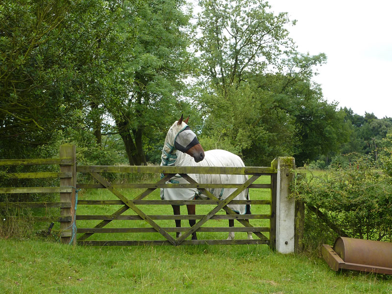
Pin The Tail?
Either the horse is hoping to pin the tail on the donkey, or it's a medical treatment, or could it be to stop the horse jumping over the gate, or is it something else?
Marsden Heights
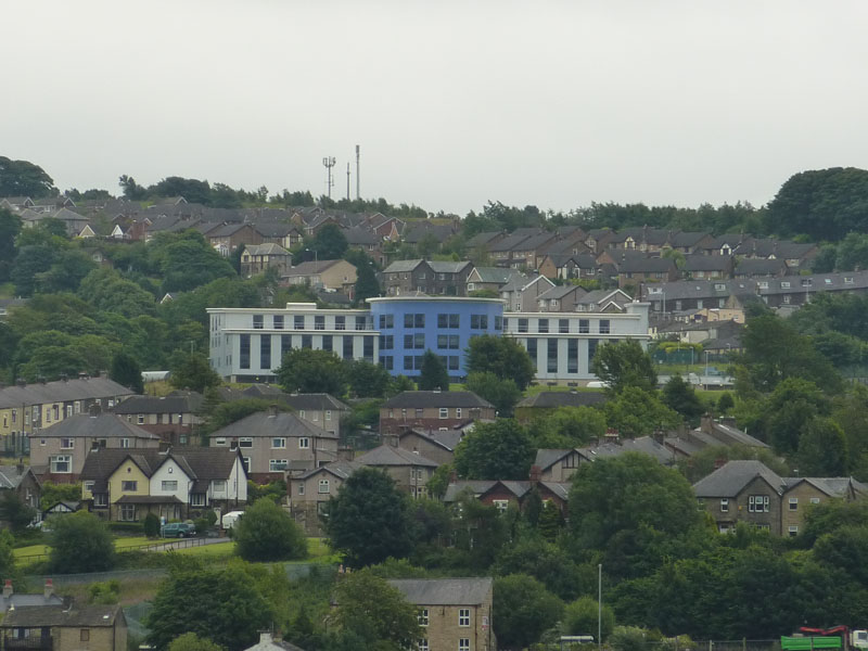
This is the new school in Brierfield that is part of the BSF project. I'm including this as a marker for a later photo to be taken from the summit, all being well.
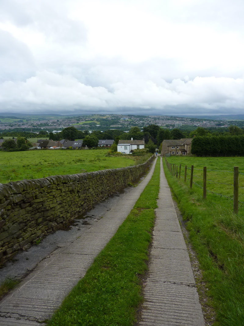
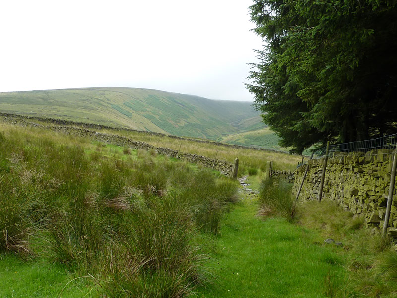
The Route
Looking back, I've walked from Brierfield to the village of Wheatley Lane, close to Fence, another village. Then it's up this track to the fields that will take me over the next hill on the way to Pendle Hill.
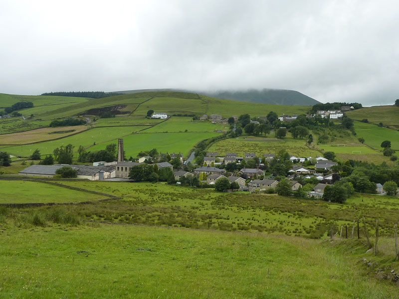
Spen Brook
My route will take me to the right of the houses, alongside the football pitch and up to Newchurch-in-Pendle. Pendle Hill remains plagued by cloud.
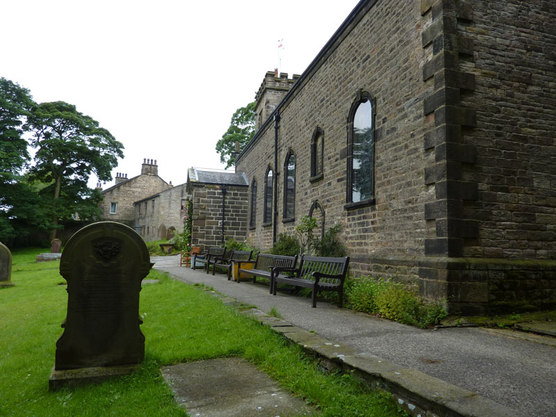
St.John's Church, Newchurch-in-Pendle
A shower forced me into the porch of the church, where I sat for a few minutes.
Spence Moor
Up above Ogden Clough, on the left, is Spence Moor. It's time to put the coat on as rain becomes more persistent. My route will take me onto Spence Moor, which will delay my arrival to the summit, time hopefully for the weather to improve.
Nick O' Pendle
You may just be able to make out the road going over the Nick O' Pendle. I am well off the originally planned route, very keen to allow time for the cloud to lift and the day to brighten up. I have not met any other walkers so far today. No great surprise, it's not very nice up here at the moment, but the rain is easing off.
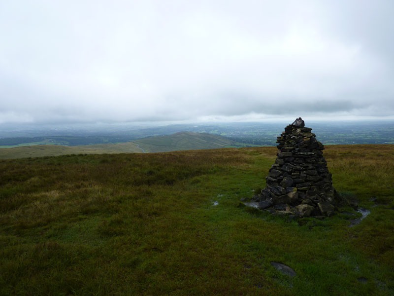
The Scout Cairn
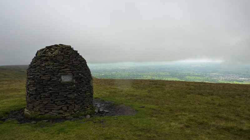
The Shelter
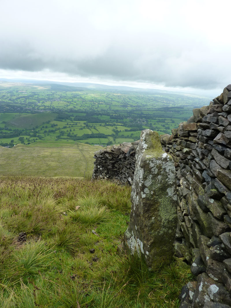
The Wall and Boundary Stone
Just after this photo I met the first other walkers on the fell, a little more about this later.
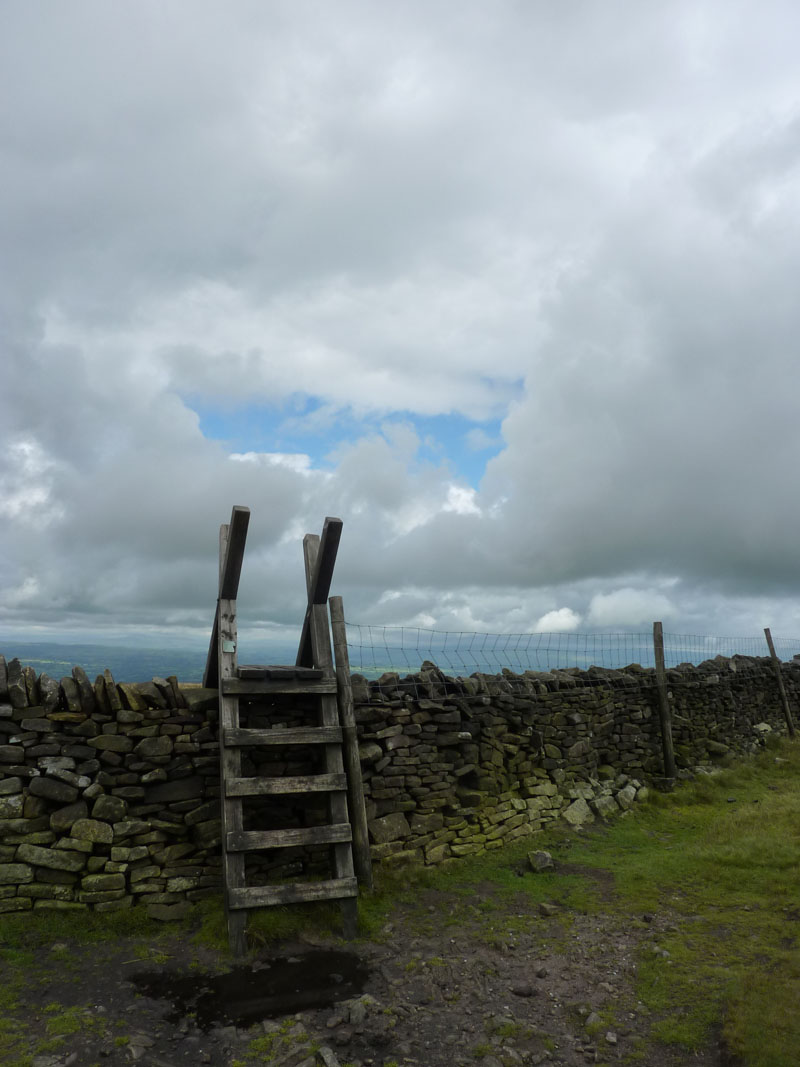
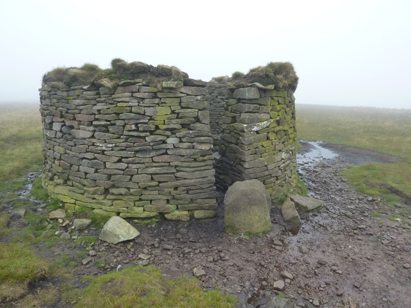
The Stile
Photograph taken to incorporate the first sighting of blue sky.
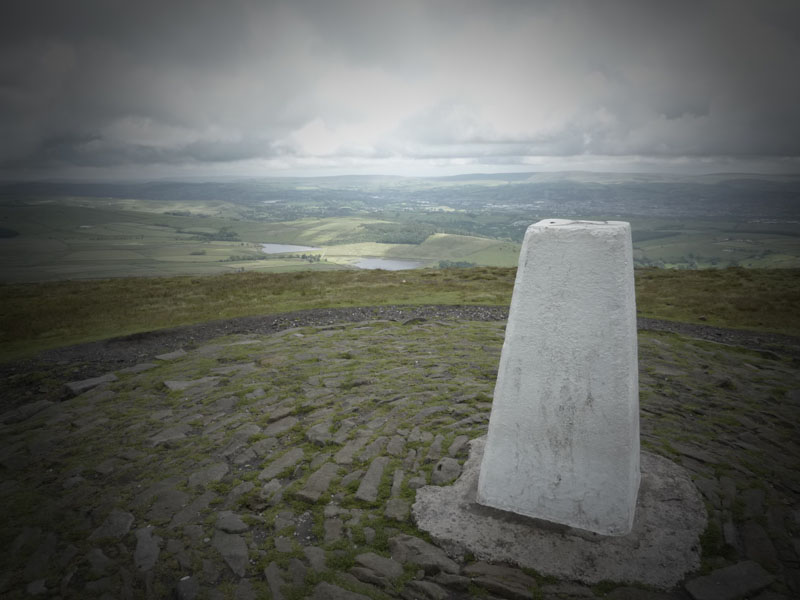
The Summit
Well, I got my way, the top is free of cloud, but the extended route has meant it has taken 5hrs 45m to get to the summit.
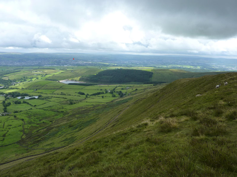
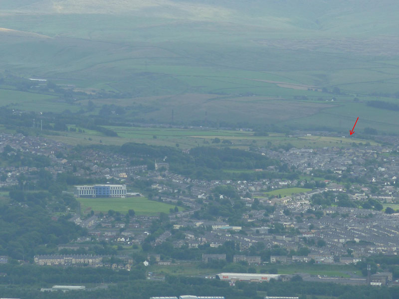
Fellwood
I placed a red spot somewhere close to home and the following photo shows home again, in relation to the landmark new school building in Brierfield. Fully zoomed.
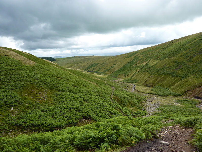
Ogden Clough
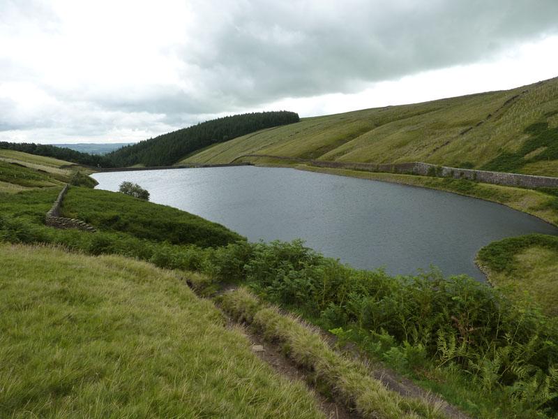
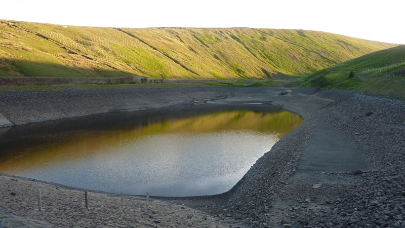
Upper Ogden Reservoir
That's taken me by surprise. The header photo of this report shows the reservoir one month ago and now it is full and overflowing. I know we've had some rain since UU said "No" to hosepipes, but I didn't think we'd had that much.
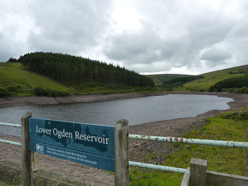
Lower Ogden Reservoir
Conversely, the lower reservoir is much lower than last time.
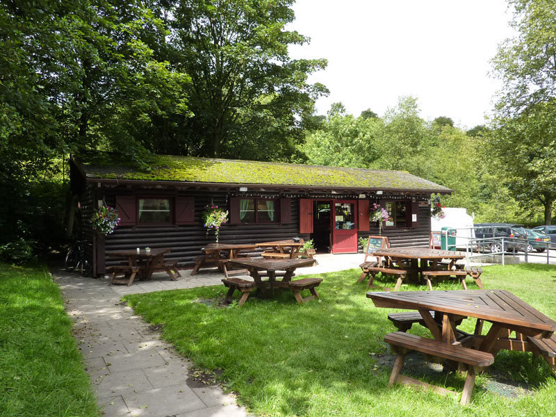
The Cabin, Barley
Time for a brew and a bite to eat, its 3pm. I set off from home thinking that I would have a late breakfast here, now it's more like an early tea. I could have caught a bus in the direction of home from Barley, but I decided to carry on.
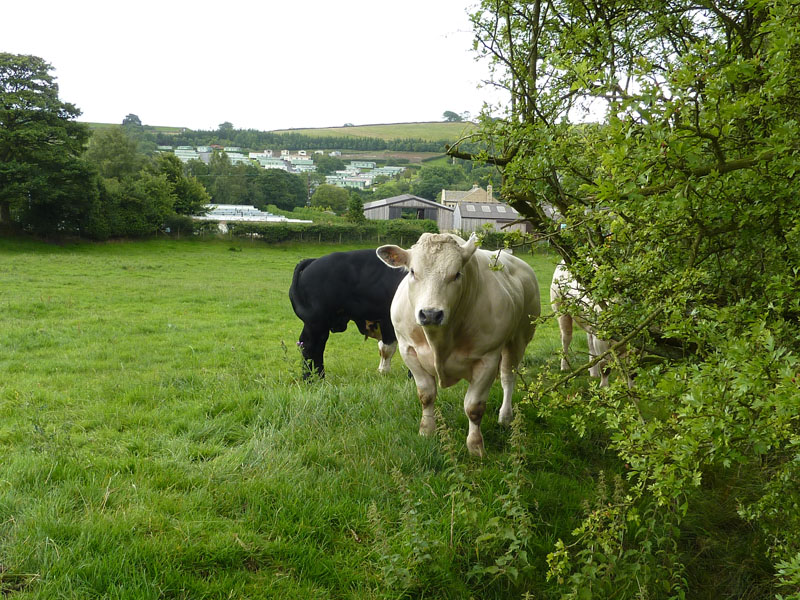
Bulls!
I tip-toed through this field, doing my best to pretend I wasn't actually there.
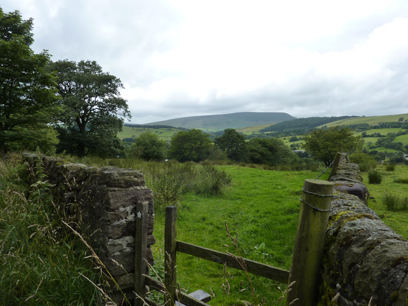
Pendle Hill from Fulshaw Head
From here I headed for Roughlee, Carr Hall (Nelson), Lomeshaye (Nelson) and then back into Brierfield. My feet were a little sore and my appetite for photos and searching out matters of interest had faded. At any time, I could have rung home for a lift, but by walking all the way home, I completed Pendle and all the way back for the first time. Previously I've walked to PH and got a lift home.
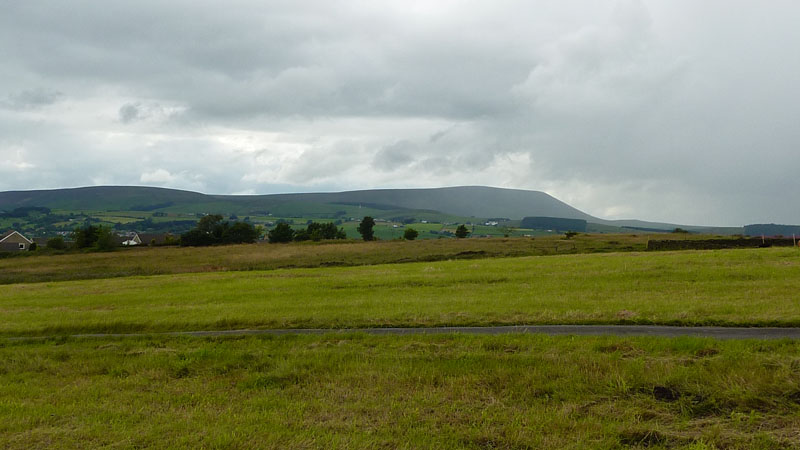
Pendle Hill, the last view
Back on the fields behind our house. Still not a great day. It turns out I walked a good deal further than I thought. The Anquet mapping system allows precise measurements and gradient profiles etc. Go right to the foot of the page to see who I met on the top of Pendle Hill...
Walkers: Just Me
Time taken: 9hrs 50mins over a distance of 19.5 miles. 3,100ft of ascent.
Route: Home, Brierfield, Wheatley Lane, Spen Brook, Newchurch-in-Pendle, Spence Moor, all the way round the back of PH, the summit, Boar Clough, Ogden Clough, Barley, Roughlee, Carr Hall, Victoria Park, Lomeshaye, Brierfield - 400ft ascent back to home.
Weather and conditions: Grim, until the clouds lifted a little, one sunny interval lasting about 15 seconds
Greetings Count: One couple near the scout cairn, a group of walking enthusiasts near the top and a steady flow of hellos on the way back to Barley.
Richard's Refreshment Review: The Cabin in Barley. It's better than it was a couple of years ago. Good daytime menu, closes at 4pm (unless it's sunny!). Why do cafes close at tea-time?
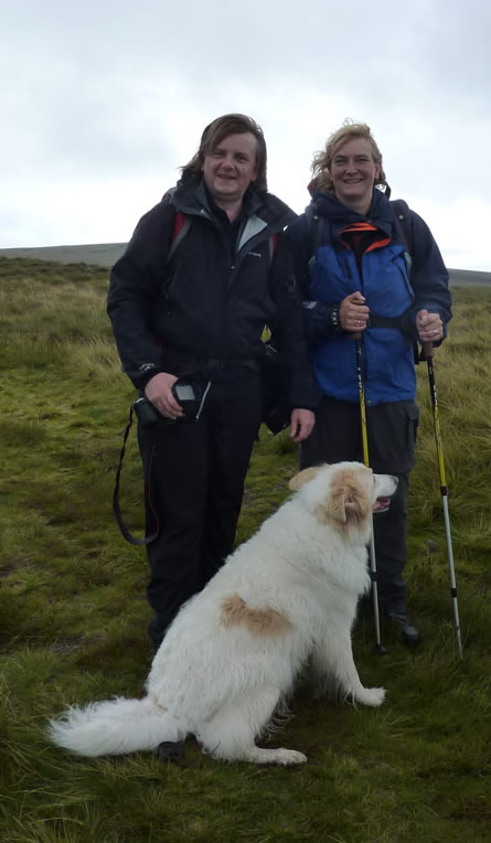
Gary and Sheena Richardson on top of Pendle Hill, along with Tim the Dog. The group was passing and I was nodding when a voice called out my name! Gary and Sheena had travelled from the North-East for their walk. Gary will post his own report on his website. Quite remarkable that I should bump into anyone I know from so far away - behind the stile i.e. not on my usual paths, on a cloudy and grey Saturday!
All photos copyright Richard Ratcliffe 2010 ©
Take me back to the start ....